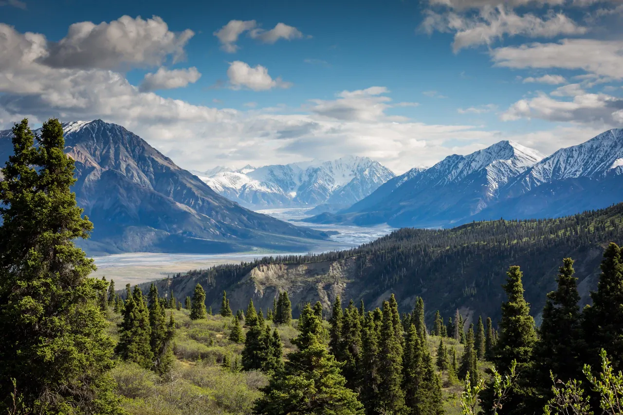
CavingClub mountain summit trail and backcountry alpine topography
Hiking, Mountaineering & Cave Exploration Field Guide

Explore Iconic Trails,
Alpine Peaks & Caverns.

Built for mountaineers, backpackers, and cavers. Documented trail specifications, science-based hiking calculators, and subterranean conservation ethics.

10Planning Calculators
14,505 ftMax Summit (Whitney)
426 miCave Passages (Mammoth)
32Destination & Safety Profiles
Latest Park & Trail News Alerts
View All News (2)
Event AlerthikingNov 17, 2026

National Take a Hike Day — Wind Cave Guided Hikes

Free 3-hour ranger-led surface program on Nov 17, 2026 at 9:00 AM. Begins with a 45-min Visitor Center session on the Ten Essentials, wildlife safety & Leave No Trace before carpooling to Rankin Ridge (~1 mi, +250 ft, ~1 hr) or Lookout Point Loop (4.5 mi, +200 ft, ~2 hrs).

Read Alert Details
Incident AlertupdatesNov 16, 2026

Grand Canyon North Rim Plane Crash Fatalities Reported

All three occupants were killed when a single-engine Piper Comanche crashed near Grand Canyon National Park's Basin area on the North Rim (Nov 15–16, 2026). FAA records place the crash around 7:15 p.m. Sunday, with responders reaching the wreckage Monday.

Read Alert Details
Published Formulas

Scientific Hiking Tools & Calculators

Calculate trail duration with Naismith's rule, parse GPX elevation profiles, match routes by effort/exposure, and test NPS difficulty ratings.

View All 10 Tools
Pre-Trip Planning ReminderConfirm current NPS/USFS land-management alerts, seasonal access rules, and activity-specific safety gear before heading into the backcountry.
Read Safety Guide →
Documented Trail Profiles

Iconic Hiking Trails

Elevation profiles, permits, water sources, and hazards compiled from Park Service cartography.

Explore All Trails (8)
Angels Landing Trail trail topography and route in Zion National Park
Physical: Moderately StrenuousSAC T3
Zion National Park

Angels Landing Trail

Rated Moderately Strenuous physically (5.4 mi / 1,488 ft) yet demanding serious technical composure (SAC T3 / Class 3 chains). West Rim Trail to Scout Lookout is open without a permit; the final chained spine requires a permit year-round.

Distance5.4 mi
Ascent+1,488 ft
Time4 hrs
View Trail Profile →
Half Dome via Mist Trail trail topography and route in Yosemite National Park
Physical: Very StrenuousSAC T3
Yosemite National Park

Half Dome via Mist Trail

Yosemite's iconic Very Strenuous High Sierra trek (16.5 mi): cables are DOWN Oct 13–late May for winter. Lower Valley trails toward Vernal and Nevada Falls remain open weather permitting.

Distance16.5 mi
Ascent+4,800 ft
Time10 hrs
View Trail Profile →
Mount Whitney Trail trail topography and route in Inyo National Forest / Sequoia National Park
Physical: Very StrenuousSAC T2
Inyo National Forest / Sequoia National Park

Mount Whitney Trail

The highest summit in the contiguous United States (14,505 ft): non-technical only during clear summer months (July–early Oct); winter brings Whitney Portal Road gate closures and technical snow/ice chutes.

Distance21.8 mi
Ascent+6,646 ft
Time12 hrs
View Trail Profile →
Alpine Summits & 14ers

Mountain Peaks & Summits

Topographic prominence, routes, weather patterns, and required technical gear.

Explore All Peaks (6)
Mount Whitney summit peak and alpine elevation in Sierra Nevada
YDS Class 1 (Summer) / Snow Mountaineering (Winter)
Sierra Nevada

Mount Whitney

Route: Mount Whitney Trail (21.8 mi RT)

Physical: Very Strenuous (NPS 538) • 14,505 ft Altitude

The highest mountain summit in the contiguous United States, rising dramatically over 10,000 feet directly above the Owens Valley floor.

Summit Elevation14,505 ft
Prominence+10,080 ft
View Peak Profile →
Mount Rainier (Tahoma) summit peak and alpine elevation in Cascade Range
Alpine Grade II (Glacier / Scree Scrambling)
Cascade Range

Mount Rainier (Tahoma)

Route: Disappointment Cleaver (DC) Route (~15–16 mi RT)

Physical: Multi-Day Extreme Alpine (~9,000 ft gain)

An episodic active stratovolcano crowned with 26 major glaciers, holding more glacial ice than all other Cascade volcanoes combined.

Summit Elevation14,411 ft
Prominence+13,210 ft
View Peak Profile →
Grand Teton summit peak and alpine elevation in Teton Range
YDS 5.4 (NCCS Grade II) — Owen-Spalding
Teton Range

Grand Teton

Route: Owen-Spalding (5.4 / Grade II) or Upper Exum Ridge (5.5 / Grade III)

Physical: Very Strenuous Alpine (~7,000 ft gain from Lupine Meadows)

The majestic centerpiece of Grand Teton National Park, rising abruptly 7,000 feet over the sagebrush plains of Jackson Hole with no foothills.

Summit Elevation13,775 ft
Prominence+6,530 ft
View Peak Profile →
Subterranean Speleology

Caving & Spelunking Guides

Explore majestic limestone caverns and lava tubes—comparing electric-lit show tours with 3-light unlit passages and WNS bat conservation.

Explore All Caves (6)
Mammoth Cave System subterranean cavern passage in Mammoth Cave, Kentucky
Guided Show Cave
Mammoth Cave, Kentucky

Mammoth Cave System

World's longest surveyed cave system (426+ miles), separating electric-lit Ranger show tours, an elevator Accessible Tour, seasonal self-guided Discovery entry, and the strenuous Wild Cave Tour.

Surveyed426 mi
AccessWheelchair
View Cavern Guide →
Carlsbad Cavern & The Big Room subterranean cavern passage in Carlsbad, New Mexico
Self-Guided Show Cave
Carlsbad, New Mexico

Carlsbad Cavern & The Big Room

Carlsbad Cavern's colossal 8.2-acre Big Room and 1.25-mile Natural Entrance operate as electric-lit self-guided routes requiring a $1 Recreation.gov timed-entry slot plus park admission.

Surveyed39.5 mi
AccessWheelchair
View Cavern Guide →
Wind Cave subterranean cavern passage in Hot Springs, South Dakota
Guided Show Cave
Hot Springs, South Dakota

Wind Cave

World-renowned honeycomb boxwork labyrinth (165+ mi), offering Ranger-led electric show tours with modernized 2025 elevator service and separate phone-booked Wild Cave Tours with strict WNS gear bans.

Surveyed165 mi
AccessModerate
View Cavern Guide →
Backcountry Knowledge

Featured Adventure Guides

Master the Ten Essentials, understand trail rating scales, and navigate safely.

View All Guides (6)
The Ten Essentials for Hiking and Trekking - CavingClub Outdoor Guide
Gear & Essentials
7 min read

The Ten Essentials for Hiking and Trekking

A foundational packing framework maintained by wilderness search-and-rescue teams to support self-sufficiency and emergency preparedness in the backcountry.

By CavingClub Editorial TeamRead
Beginner's Guide to Caving & Spelunking: Safety, Ethics & What to Expect - CavingClub Outdoor Guide
Caving & Spelunking
9 min read

Beginner's Guide to Caving & Spelunking: Safety, Ethics & What to Expect

Essential guidelines for aspiring cavers, covering the distinction between electric-lit show caves vs. unlit wild caving, the 3-Light Rule, and WNS bat conservation.

By CavingClub Editorial TeamRead
Understanding Trail Difficulty Scales: Shenandoah, SAC, and YDS Explained - CavingClub Outdoor Guide
Mountain Safety
8 min read

Understanding Trail Difficulty Scales: Shenandoah, SAC, and YDS Explained

Decode how trail and mountaineering systems calculate difficulty—comparing Shenandoah NPS endurance scores, park agency ratings, SAC (T1–T6), YDS (Class 1–5), Alpine Glacier Grades, and Alaska Grades.

By CavingClub Editorial TeamRead
Leave No Trace & Conservation Commitment

Protecting the Backcountry & Subterranean Wilderness

CavingClub.org actively promotes the 7 Principles of Leave No Trace, bat conservation against White-Nose Syndrome, and responsible recreation. Take only memories, leave only footprints.